Tasmania’s national parks are havens of wilderness and wildlife.
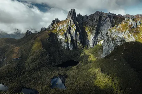
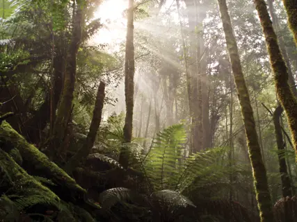
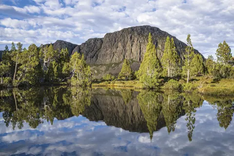
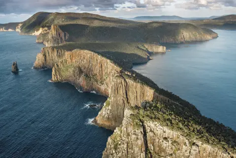
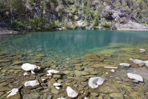
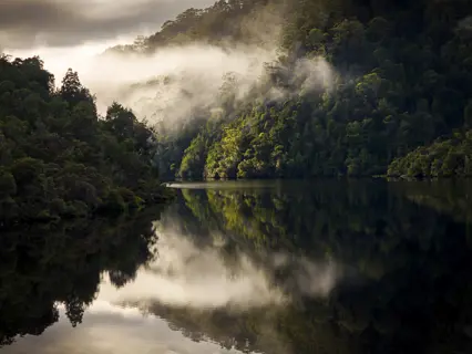
Across the island are 19 national parks, protecting a vast collection of wild places, numerous endemic species, and a remarkable biodiversity of plants and animals. Walk in valleys where towering Huon pines grow for thousands of years, where rivers meet rare temperate rainforest, and snow-peaked mountains shadow buttongrass plains. See wildlife that exists nowhere else on Earth.
Overall, about 40% of Tasmania is protected as national parks, reserves and UNESCO World Heritage areas, with a number of national parks included in the expansive Tasmanian Wilderness World Heritage Area.
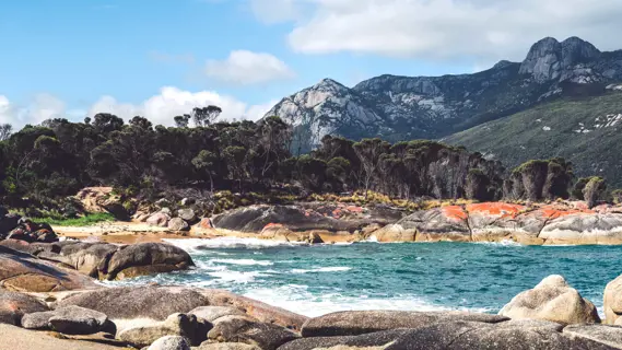
Climb to Wineglass Bay lookout in Freycinet National Park to see the perfect white-sand arc fringed by turquoise water. Hike into an alpine wonderland edged by craggy peaks at Walls of Jerusalem National Park. Wander among wombats and explore the UNESCO World Heritage-listed convict probation station at Maria Island National Park. Learn about ancient Palawa (Tasmanian Aboriginal) culture on the striking north-west coast at Rocky Cape National Park.
Tasmania’s national parks are managed by the Tasmania Parks and Wildlife Service and a national parks pass is required for entry. Learn more about how to safely explore the island’s wild places here.
Cradle Mountain-Lake St Clair National Park
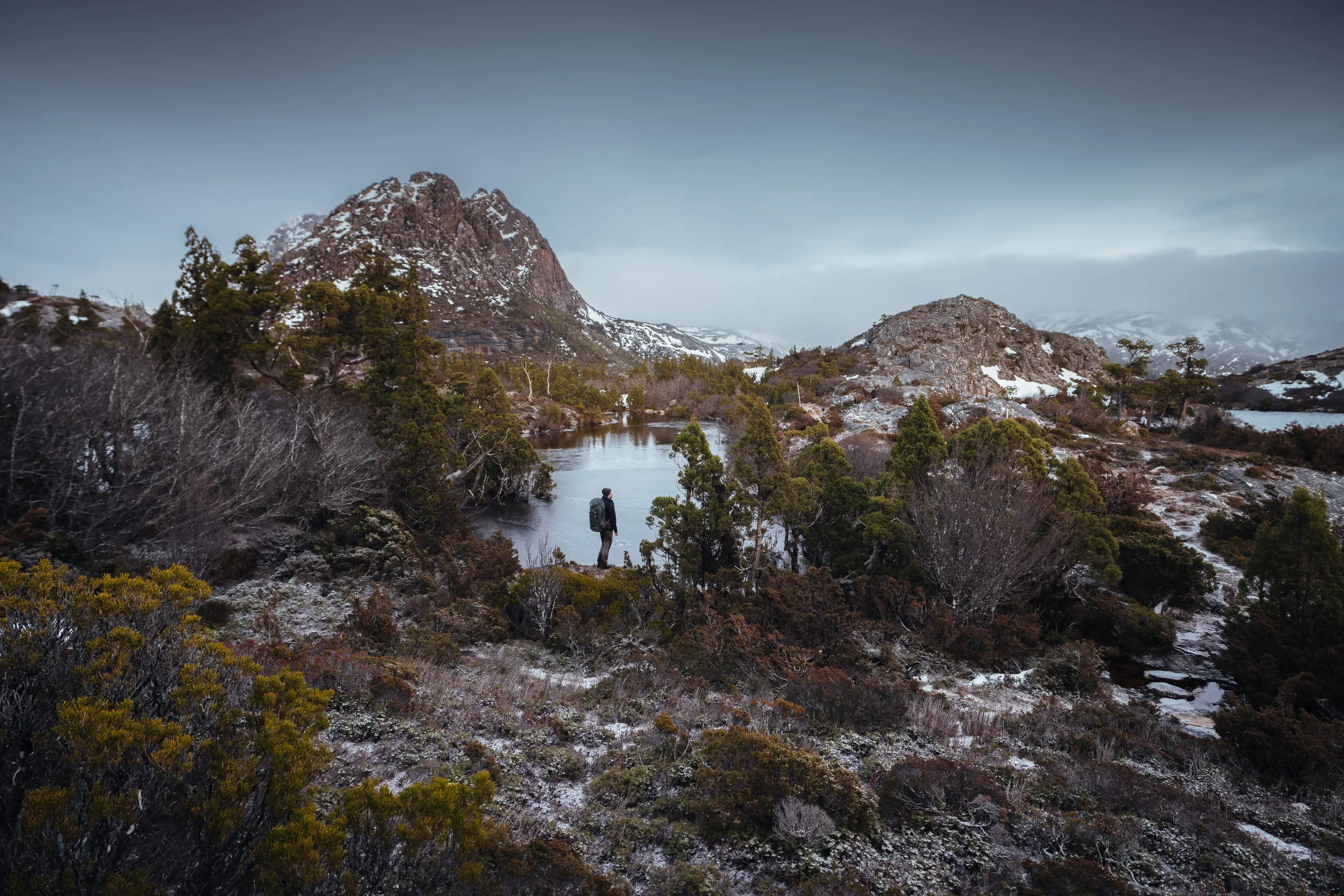
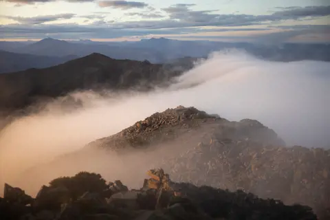
Encompassing Tasmania’s most famous natural landmark – Cradle Mountain – as well as Australia’s deepest lake and seven of the state’s 10 highest mountains, Cradle Mountain-Lake St Clair National Park is one of Australia’s greatest natural treasures.
Part of the Tasmanian Wilderness World Heritage Area, this is effectively a park in two parts, accessed from Cradle Mountain at its northern edge or Lake St Clair in the south.
Read more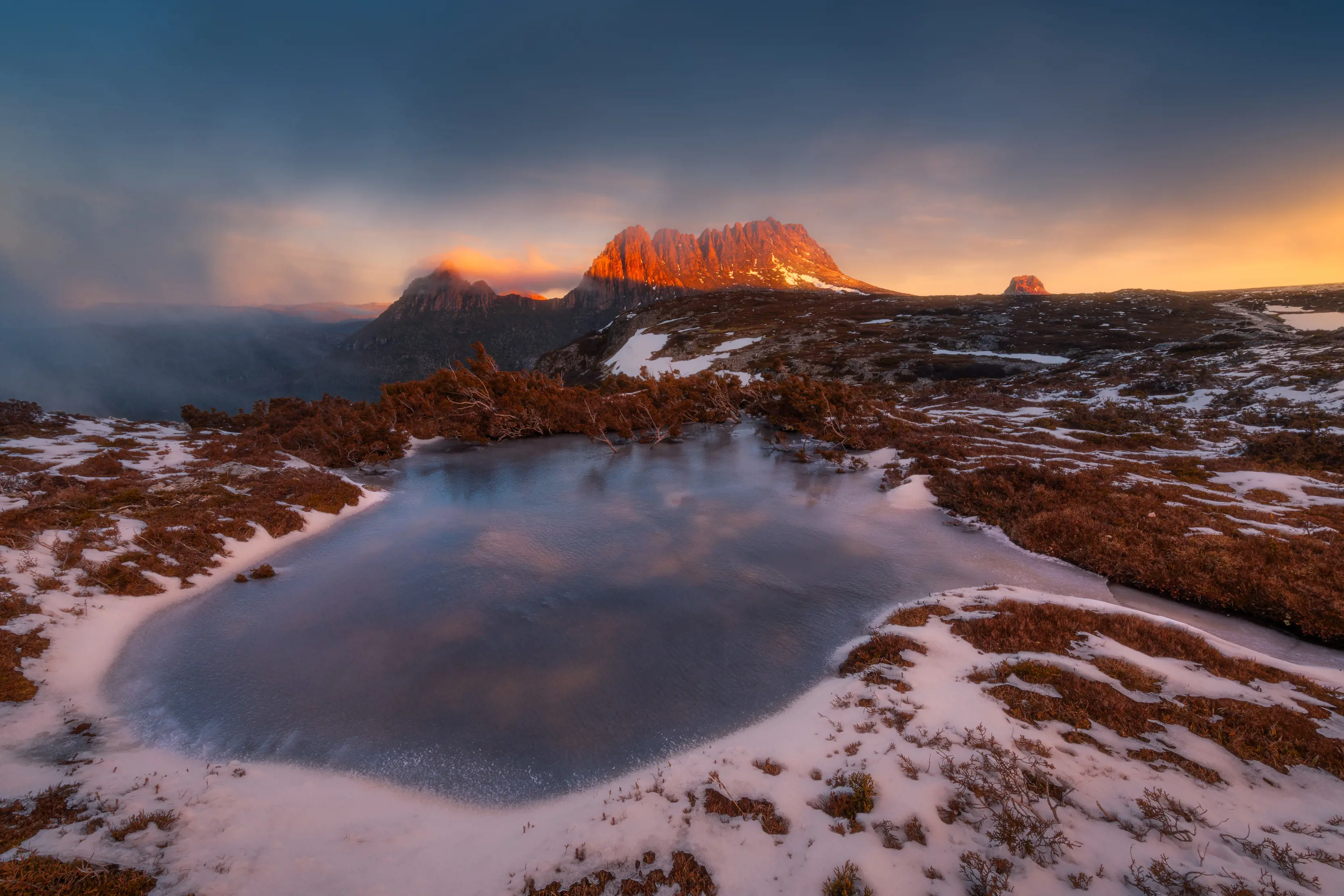
Narawntapu National Park
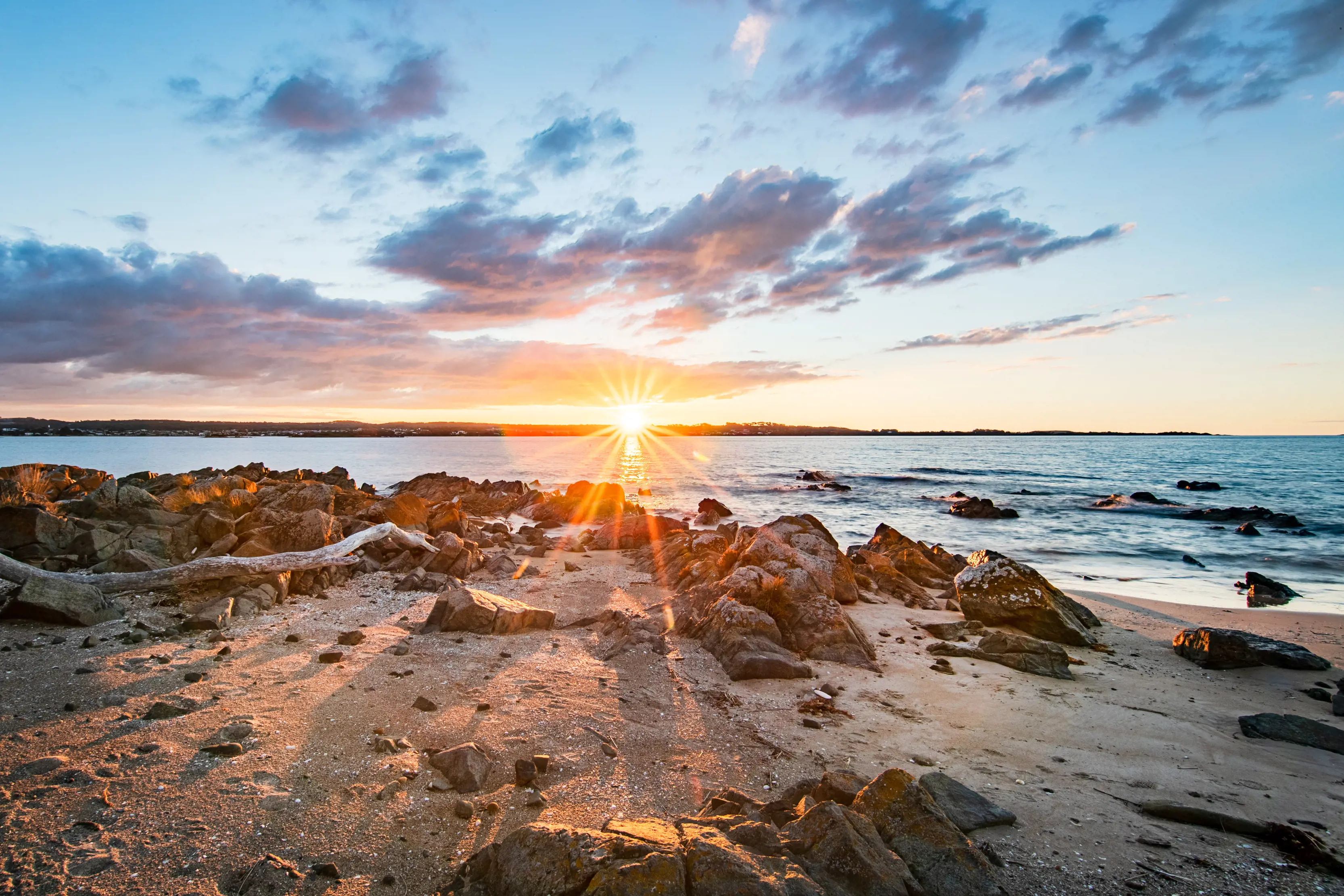
Wildlife meets wild coast in this national park on Tasmania's central north coast.
Stretching from Greens Beach at the mouth of Kanamaluka / River Tamar to Bakers Beach in the west, Narawntapu has often been called the Serengeti of Tasmania, with the grassy clearings around the visitor centre at Springlawn filling with animals each dusk.
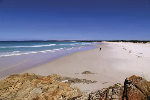
The park’s coast is bookended by a pair of long beaches – Badger Beach and Bakers Beach – backed by coastal heathlands and grasslands, wetlands and dry sclerophyll woodlands. Walks range from short strolls to a 21km coastal traverse of the entire park, and the park offers some of Tasmania’s best coastal camping.
Read more