Accommodation
Sheffield Pioneer Holiday Units
Sheffield
$135 - $150
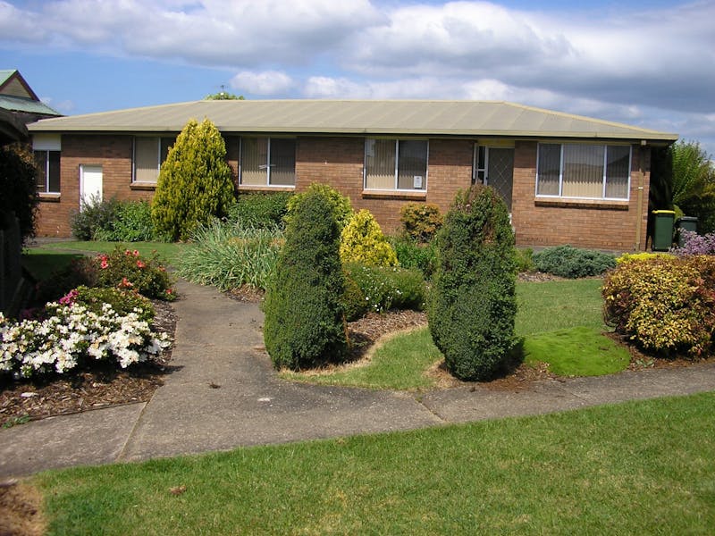
Sheffield Pioneer Holiday Units offer self-contained accommodation in Sheffield, in Tasmania’s north west.
The Pioneer Holiday Units are spacious five bedroom units accommodating 10 people in each unit, and are situated in the heart of Sheffield, the Town of Murals where you can walk to the local restaurants and shops and complete a tour of the murals in Mural Park and surrounding buildings.
The units have full kitchen and laundry facilities, television, free unlimited wifi, electric blankets, linen, bath, separate shower, DVD player, iron and ironing board, cots, barbecue facilities and car parking.
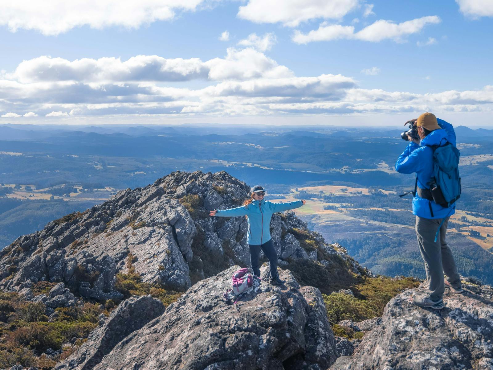
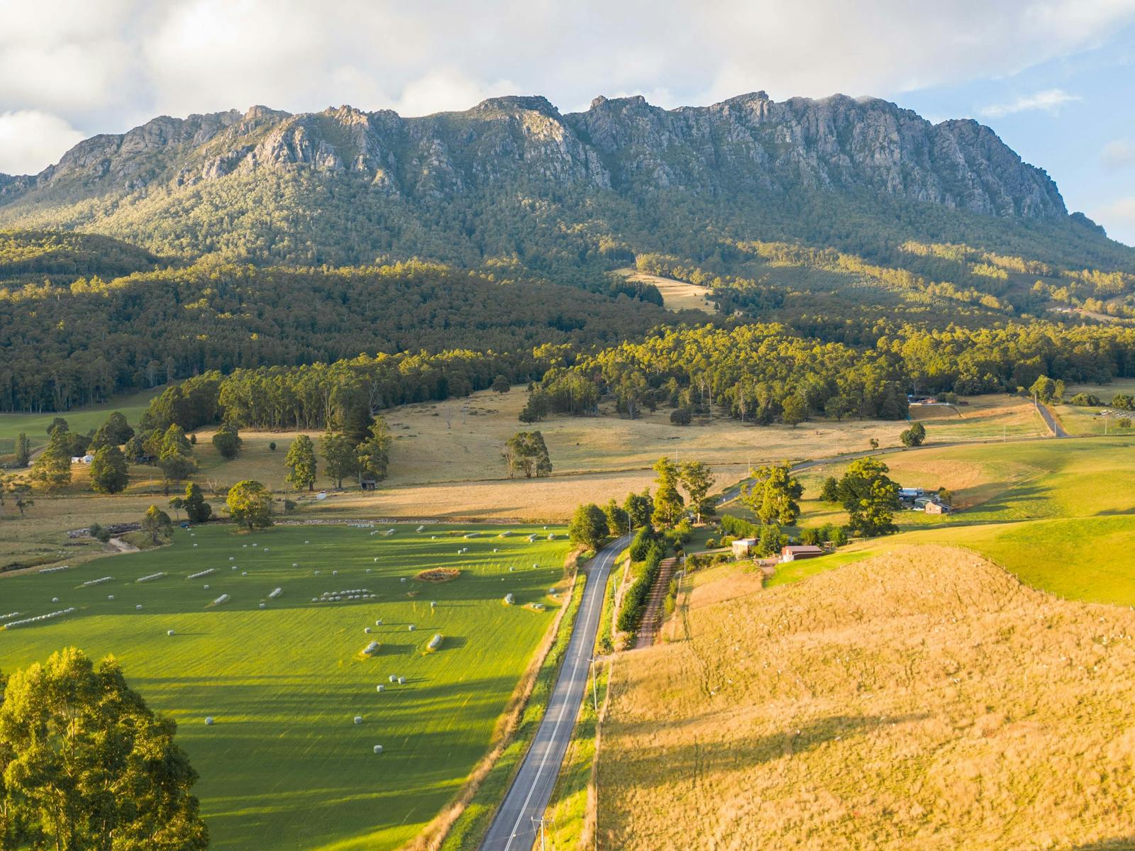
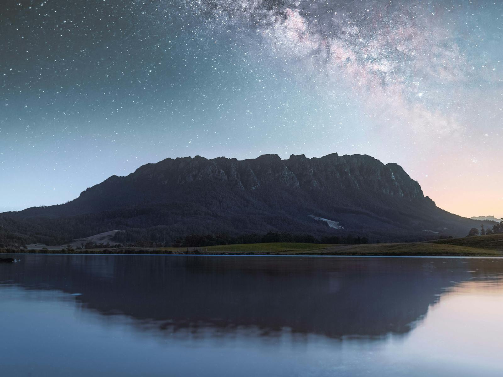
It’s a short drive to the start of the bush walks on Mount Roland, the majestic presence dominating the town, and to Lake Barrington for picnics, rowing and water skiing. Cast a fly in one of the many popular trout fishing lakes and rivers. Barbecue your catch in the pleasant spacious grounds of your comfortable unit. Close to Wild Mersey Mountain Bike Trails at Railton, Latrobe and
Sheffield. Our accommodation has an area where mountain bikes can be securely locked away.
The alpine lakes and peaks of Cradle Mountain National Park are less than an hour away. Sheffield is only a 25-minute drive from the Spirit of Tasmania ferry terminal and Devonport Airport.


